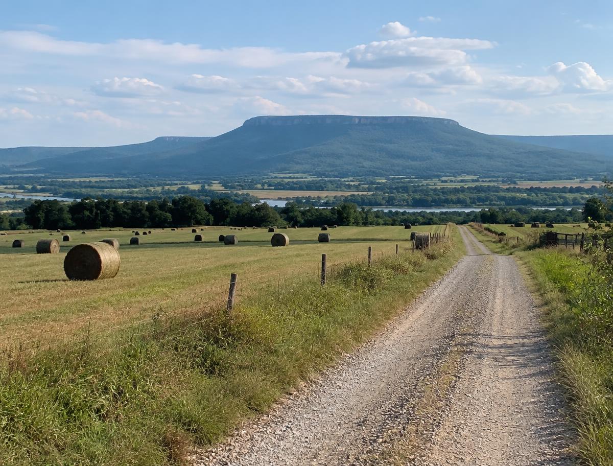
White County is a large central Arkansas county with Searcy as its seat, home to Harding University, and with Beebe, Bald Knob and Judsonia as other main towns. The east side is flat farmland near the White River, while the north and west rise into wooded hills toward Pangburn and Rose Bud.
Communities in the county include Beebe, Bald Knob, Judsonia, Kensett, Bradford, Pangburn, Rose Bud, McRae and Higginson.
Land We Look At in White County
Row-crop farmland
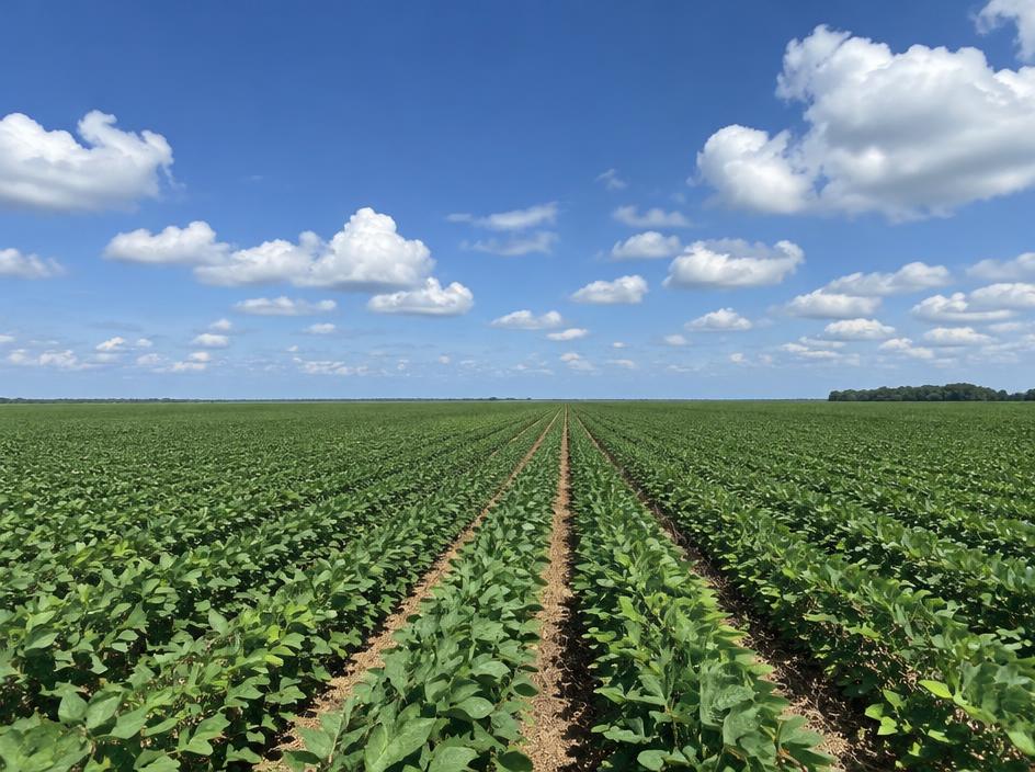
East of Searcy and around Bald Knob and Kensett, level fields support rice, soybeans and other row crops.
Timber and recreational woods
The hillier northern and western county is a mix of pine and hardwood, with creeks, hunting tracts and rural homesites.
River-area parcels
Land along the Little Red River and the White River brings floodplain, bottomland timber and waterfowl and deer hunting into the picture.
Local Notes
- Searcy is the county seat, with Beebe, Bald Knob, Judsonia, Kensett, Bradford, Pangburn and Rose Bud around it.
- U.S. 67, U.S. 167 and U.S. 64 are the main routes.
- The Little Red River and the White River are the main waterways, and Bald Knob National Wildlife Refuge protects bottomland habitat.
- Land uses include rice and soybean fields in the east, pine and hardwood timber in the hills, and homesites near Searcy and Beebe.
Growth Areas
Searcy and Beebe are the main centers of growth, supported by the colleges and by their location on the U.S. 67 and U.S. 167 corridor toward Little Rock and Cabot. Homebuilding has spread to the edges of both towns.
Terrain, Flood and Zoning Notes
The county crosses two landscapes: flat, alluvial Delta ground in the east and low Ozark foothills in the northwest. The Little Red and White rivers and their creeks carry significant floodplain, and bottomland tracts can stay wet. Searcy and Beebe zone their own land, and unincorporated areas have limited use zoning.
General information only. Confirm zoning and flood status for a specific parcel with the county.
County Resources
Property records in Arkansas come from two county offices: the county assessor, who maintains assessments and tax records, and the circuit clerk, who records deeds. Both can be reached at the county courthouse in Searcy. These official sources can also help with parcel research:
- Arkansas GIS Office (state mapping and parcel data)
- Arkansas Assessment Coordination Department (county assessors and property tax)
- USDA Web Soil Survey (soil maps for any parcel)
- USDA NASS Arkansas (crop and land statistics)
These are public government resources. We are not affiliated with them.
Selling Without a Listing
If your White County land is leased to a farmer, includes bottomland timber or touches a river floodplain, say so in the form. We expect that, and it does not stop us from making an offer.
There is no realtor and no commission, and you pick the closing date. Our guide to selling Arkansas land without a realtor covers records, taxes and closing.
Get a Free, No-Obligation Cash Offer
Share a few details about your Arkansas property and we'll reply with a written cash offer.