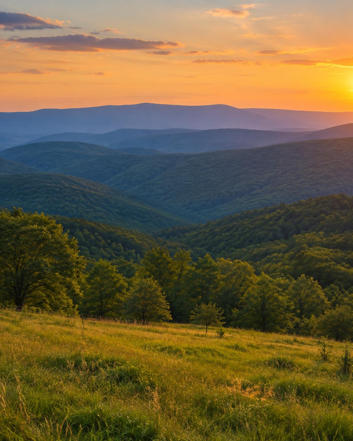
Washington County is home to Fayetteville, the county seat and the site of the University of Arkansas, and to Springdale just to the north. South of the cities the land climbs into the Boston Mountains near West Fork and Winslow, and between the towns there is still plenty of pasture, hay ground and wooded acreage.
Communities in the county include Springdale, Johnson, Elkins, Farmington, Prairie Grove, Lincoln, West Fork, Winslow, Greenland and Tontitown.
Land We Look At in Washington County
Edge-of-town acreage
Parcels around Farmington, Johnson, Elkins and Prairie Grove that sit near growing neighborhoods are often valued for future homes.
Pasture, hay and poultry ground
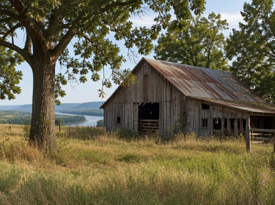
Open ridges and valleys across the western and northern parts of the county are a mix of cattle pasture, hay fields and poultry operations.
Mountain and hardwood tracts
In the south, around West Fork, Winslow and Devil's Den State Park, forested hillsides and hollows make up hunting and recreational land with steep terrain.
Local Notes
- Fayetteville is the county seat, with Springdale, Johnson, Elkins, Farmington and Prairie Grove nearby and West Fork and Winslow toward the mountains.
- Interstate 49, U.S. 71, U.S. 62 and Arkansas 16 are the main routes.
- The White River's West Fork and the Illinois River begin in the county, and Lake Fayetteville, Lake Sequoyah and Lake Wedington are local lakes.
- Prairie Grove Battlefield State Park and Devil's Den State Park are well-known landmarks, and land uses include pasture, poultry, hardwood timber and homesites.
Growth Areas
The Interstate 49 corridor and the university anchor steady demand, with new housing spreading from Fayetteville toward Farmington, Greenland and Lincoln, and from Springdale toward Tontitown. U.S. 62 and Arkansas 16 carry commuters between the towns.
Terrain, Flood and Zoning Notes
The county spans the Springfield Plateau in the north and the rugged Boston Mountains in the south. Limestone country brings springs, caves and sinkholes, while steep slopes affect access, septic design and building cost. The West Fork of the White River and the Illinois River both start here, and their creeks carry floodplain through low ground. Cities zone their own land, and unincorporated areas are generally lightly zoned.
General information only. Confirm zoning and flood status for a specific parcel with the county.
County Resources
Property records in Arkansas come from two county offices: the county assessor, who maintains assessments and tax records, and the circuit clerk, who records deeds. Both can be reached at the county courthouse in Fayetteville. These official sources can also help with parcel research:
- Washington County government
- Arkansas GIS Office (state mapping and parcel data)
- Arkansas Assessment Coordination Department (county assessors and property tax)
- USDA Web Soil Survey (soil maps for any parcel)
These are public government resources. We are not affiliated with them.
Selling Without a Listing
For steep or wooded Washington County parcels, a note about road access, easements and any timber helps us review the land accurately before we write the offer.
There is no realtor and no commission, and you pick the closing date. Our guide to selling Arkansas land without a realtor covers records, taxes and closing.
Get a Free, No-Obligation Cash Offer
Share a few details about your Arkansas property and we'll reply with a written cash offer.