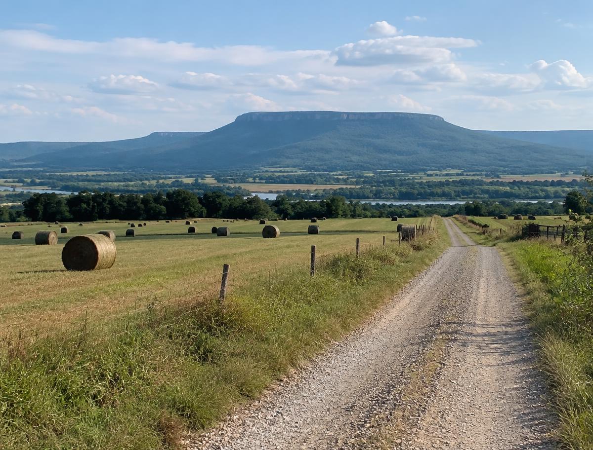
Pope County runs along the Arkansas River Valley, with Russellville as the county seat and home to Arkansas Tech University. South of the river the land is farm and pasture, and to the north it climbs into the forested Boston Mountains of the Ozark National Forest.
Communities in the county include Atkins, Dover, Pottsville, London, Hector and Nogo.
Land We Look At in Pope County
River Valley pasture and hay ground
Bottomland and low terraces near Atkins, Pottsville and London are used for cattle, hay and small farms.
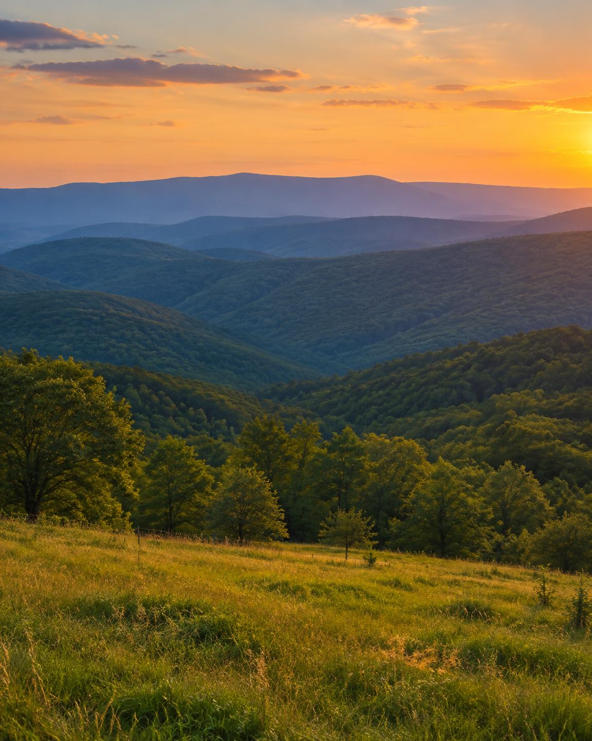
Mountain timber and hunting tracts
North of Russellville, around Dover and Hector, wooded hills and hollows make up deer and turkey country with steep terrain.
Lake Dardanelle area parcels
Land near Lake Dardanelle on the Arkansas River brings water access, shoreline rules and floodplain into the picture.
Local Notes
- Russellville is the county seat, with Atkins, Dover, Pottsville, London and Hector in the surrounding county.
- Interstate 40, U.S. 64 and Arkansas 7 are the main routes.
- The Arkansas River, Lake Dardanelle and Illinois Bayou are the main water features, and the Ozark National Forest covers much of the north.
- Land uses include cattle and hay, poultry, hardwood timber, recreational hills and lake-area homesites.
Growth Areas
Russellville is the commercial hub of the valley, supported by the university, local industry and its position on Interstate 40 and Arkansas 7. Growth has spread toward Dover, Pottsville and Atkins.
Terrain, Flood and Zoning Notes
The county is split between the Arkansas River Valley, with flat to gently rolling farmland, and the steeper Boston Mountains to the north. Illinois Bayou, the Arkansas River and Lake Dardanelle carry floodplain, and mountain parcels can have limited road access. Russellville zones its own land, and most unincorporated areas have little use zoning.
General information only. Confirm zoning and flood status for a specific parcel with the county.
County Resources
Property records in Arkansas come from two county offices: the county assessor, who maintains assessments and tax records, and the circuit clerk, who records deeds. Both can be reached at the county courthouse in Russellville. These official sources can also help with parcel research:
- Arkansas GIS Office (state mapping and parcel data)
- Arkansas Assessment Coordination Department (county assessors and property tax)
- USDA Web Soil Survey (soil maps for any parcel)
- USDA NASS Arkansas (crop and land statistics)
These are public government resources. We are not affiliated with them.
Selling Without a Listing
For hillside or national-forest-edge parcels, a note about legal access and easements in the form helps us review the property accurately.
There is no realtor and no commission, and you pick the closing date. Our guide to selling Arkansas land without a realtor covers records, taxes and closing.
Get a Free, No-Obligation Cash Offer
Share a few details about your Arkansas property and we'll reply with a written cash offer.