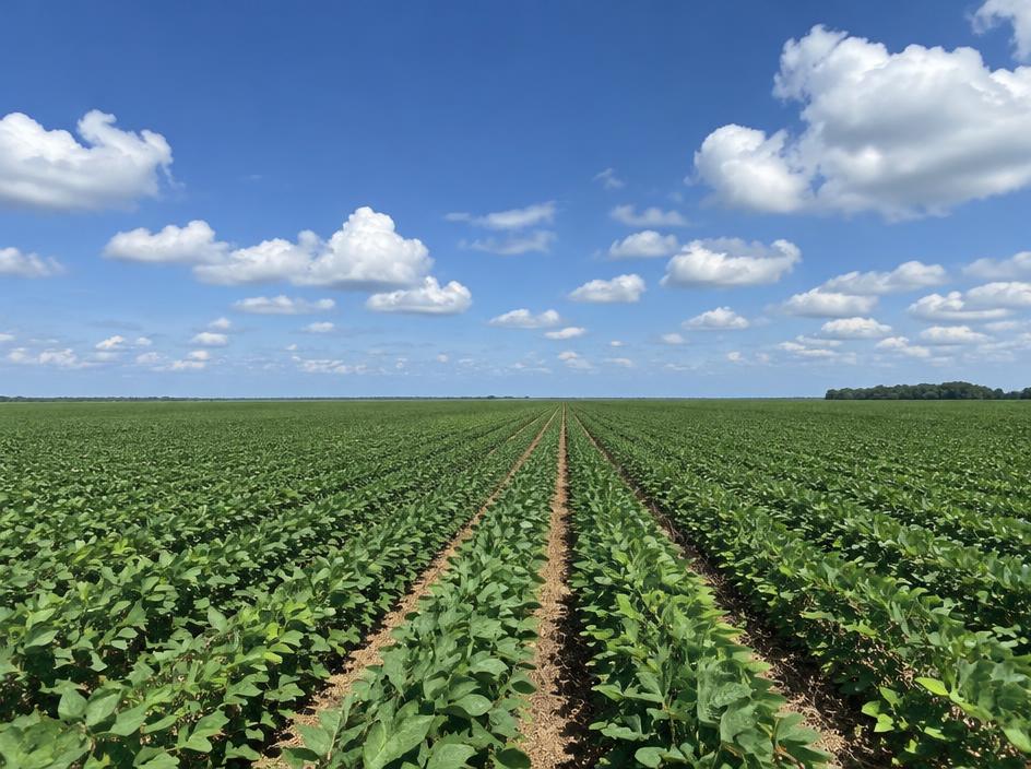
Lonoke County stretches east of Little Rock across the flat Grand Prairie, with the town of Lonoke as the county seat. Cabot and Ward on the north side are commuter towns for the Little Rock area, while the rest of the county is largely open farmland, irrigation ditches and bayous.
Communities in the county include Cabot, Carlisle, Ward, England, Humnoke, Coy, Keo and Allport.
Land We Look At in Lonoke County
Rice and row-crop farmland
Level fields around Carlisle, England, Humnoke and Keo are known for rice, soybeans and other row crops, often with irrigation wells or reservoirs.
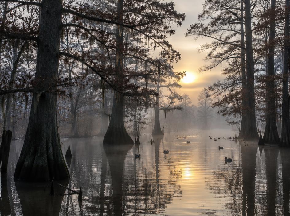
Duck and hunting ground
Flooded fields, green-tree areas and bottomland along the bayous draw waterfowl and deer hunters.
Commuter-edge acreage
Tracts near Cabot and Ward that border neighborhoods or main roads are often considered for homes and small developments.
Local Notes
- Lonoke is the county seat, with Cabot, Carlisle, Ward, England and Humnoke among the main communities.
- Interstate 40, U.S. 67, U.S. 167 and U.S. 70 are the main routes.
- Bayou Meto and the surrounding drainage network shape the low ground.
- Land uses include rice and soybean fields, aquaculture ponds, duck and deer hunting land, and homesites near Cabot.
Growth Areas
Cabot has grown quickly as a bedroom community for Little Rock and Jacksonville along U.S. 67 and U.S. 167, and Ward has followed. Interstate 40 crosses the southern part of the county and carries commuter and freight traffic.
Terrain, Flood and Zoning Notes
Most of the county is nearly flat, with heavy soils and a network of bayous, including Bayou Meto, that carry floodplain and hold water after heavy rain. Irrigation and drainage infrastructure matters to farmland. The northwest around Cabot is gently rolling. Cities zone their own land, and unincorporated areas have limited use zoning.
General information only. Confirm zoning and flood status for a specific parcel with the county.
County Resources
Property records in Arkansas come from two county offices: the county assessor, who maintains assessments and tax records, and the circuit clerk, who records deeds. Both can be reached at the county courthouse in Lonoke. These official sources can also help with parcel research:
- Arkansas GIS Office (state mapping and parcel data)
- Arkansas Assessment Coordination Department (county assessors and property tax)
- USDA Web Soil Survey (soil maps for any parcel)
- USDA NASS Arkansas (crop and land statistics)
These are public government resources. We are not affiliated with them.
Selling Without a Listing
For Lonoke County farmland, tell us whether the ground is leased, irrigated or enrolled in a conservation program. Those details affect how the land is reviewed.
There is no realtor and no commission, and you pick the closing date. Our guide to selling Arkansas land without a realtor covers records, taxes and closing.
Get a Free, No-Obligation Cash Offer
Share a few details about your Arkansas property and we'll reply with a written cash offer.