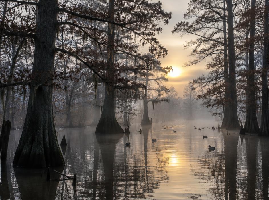
Craighead County is in northeast Arkansas, where Jonesboro, home to Arkansas State University, is the largest city and one of two county seats along with Lake City. The county straddles Crowley's Ridge, a line of low wooded hills that rises above the flat Delta farmland on either side.
Communities in the county include Jonesboro, Brookland, Bono, Cash, Caraway, Lake City, Monette, Nettleton and Black Oak.
Land We Look At in Craighead County
Delta row-crop farmland
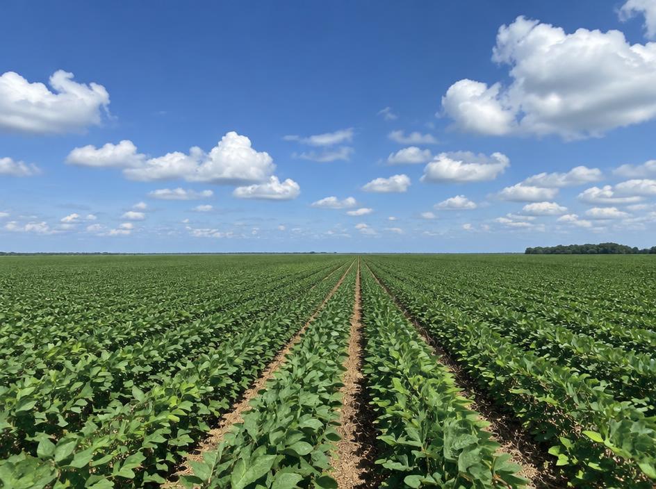
Level fields on both sides of the ridge grow rice, soybeans, corn and cotton, often with irrigation wells.
Crowley's Ridge and hunting tracts
The wooded ridge and the bottomland along local rivers and ditches provide deer, turkey and waterfowl hunting ground.
Jonesboro-edge acreage
Parcels near Jonesboro, Brookland, Bono and Nettleton that border subdivisions or highways are often considered for homes or commercial use.
Local Notes
- Jonesboro and Lake City are the two county seats, with Brookland, Bono, Cash, Caraway, Monette and Nettleton among the other communities.
- Interstate 555, U.S. 63, U.S. 49 and Arkansas 18 are the main routes.
- Crowley's Ridge runs through the county, and the Cache River drains the western side.
- Land uses include rice, soybean, corn and cotton fields, hunting tracts and development acreage near Jonesboro.
Growth Areas
Jonesboro is a regional center for healthcare, education and retail, and growth has spread south and west toward Brookland and Bono. Interstate 555, U.S. 63 and Arkansas 18 are the main routes for new development.
Terrain, Flood and Zoning Notes
Outside the ridge, the county is flat Delta ground with heavy soils, ditches and drainage districts, and low areas hold water after heavy rain. The Cache River and its tributaries carry floodplain across the western side. The ridge itself has erodible loess soils and rolling slopes. Jonesboro and other cities zone their own land, and unincorporated areas have limited use zoning.
General information only. Confirm zoning and flood status for a specific parcel with the county.
County Resources
Property records in Arkansas come from two county offices: the county assessor, who maintains assessments and tax records, and the circuit clerk, who records deeds. Both can be reached at the county courthouse in Jonesboro and Lake City. These official sources can also help with parcel research:
- Arkansas GIS Office (state mapping and parcel data)
- Arkansas Assessment Coordination Department (county assessors and property tax)
- USDA Web Soil Survey (soil maps for any parcel)
- USDA NASS Arkansas (crop and land statistics)
These are public government resources. We are not affiliated with them.
Selling Without a Listing
If your Craighead County land is farmed by a tenant, has irrigation or sits in a drainage district, mention it in the form. We take those details into account in the offer.
There is no realtor and no commission, and you pick the closing date. Our guide to selling Arkansas land without a realtor covers records, taxes and closing.
Get a Free, No-Obligation Cash Offer
Share a few details about your Arkansas property and we'll reply with a written cash offer.