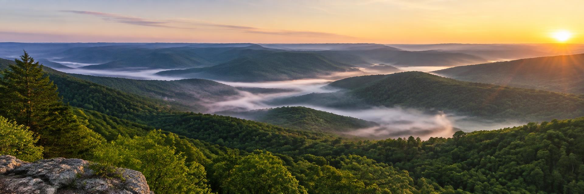
Benton County sits in the northwest corner of Arkansas against the Oklahoma and Missouri lines, with Bentonville as the county seat. It is one of the most developed parts of the state, yet outside the city limits it still holds hay meadows, cattle pasture, hardwood hollows and wooded lots on the edge of Beaver Lake.
Communities in the county include Rogers, Bella Vista, Centerton, Pea Ridge, Siloam Springs, Gravette, Decatur, Gentry, Lowell and Cave Springs.
Land We Look At in Benton County
Growth-edge acreage
Tracts near Bentonville, Rogers, Centerton and Pea Ridge that border subdivisions or major roads are often looked at as future homesites or small developments.
Pasture and hay ground
Rolling fields around Gravette, Decatur, Gentry and Siloam Springs have long supported cattle, poultry houses and hay.
Wooded and lake-area lots
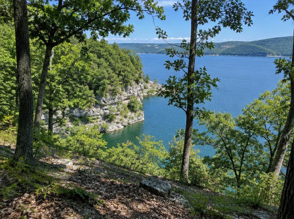
East of Rogers and around Garfield and Avoca, wooded hillsides and lots near Beaver Lake bring slope, access and shoreline rules into the picture.
Local Notes
- Bentonville is the county seat, with Rogers, Bella Vista, Centerton, Lowell and Pea Ridge making up the busy corridor and Siloam Springs on the Oklahoma line.
- Interstate 49, U.S. 71 and U.S. 62 are the main routes, with Arkansas 12 and Arkansas 94 serving the countryside.
- Beaver Lake on the White River borders the eastern side of the county.
- Pea Ridge National Military Park is a well-known landmark, and land uses include cattle and hay, poultry, wooded homesites and development acreage.
Growth Areas
The Interstate 49 and U.S. 71 corridor ties Bentonville, Rogers, Lowell and Centerton into one continuous metro with Fayetteville and Springdale to the south. Residential, retail and office growth has pushed outward toward Pea Ridge, Cave Springs and Highfill.
Terrain, Flood and Zoning Notes
Benton County is part of the Ozark plateau, with limestone bedrock, springs and caves, so sinkholes and karst features can show up on some parcels. Steeper ground lies toward Beaver Lake and the White River, and creek bottoms carry mapped floodplain. Cities set their own zoning, and unincorporated areas are often lightly zoned, though county subdivision and road rules can still apply.
General information only. Confirm zoning and flood status for a specific parcel with the county.
County Resources
Property records in Arkansas come from two county offices: the county assessor, who maintains assessments and tax records, and the circuit clerk, who records deeds. Both can be reached at the county courthouse in Bentonville. These official sources can also help with parcel research:
- Benton County government
- Arkansas GIS Office (state mapping and parcel data)
- Arkansas Assessment Coordination Department (county assessors and property tax)
- USDA Web Soil Survey (soil maps for any parcel)
These are public government resources. We are not affiliated with them.
Selling Without a Listing
If your Benton County land has road frontage, a spring, steep slope or lake access, mention it in the form. Those details shape how the land can be used, and we take them into account in the written offer.
There is no realtor and no commission, and you pick the closing date. Our guide to selling Arkansas land without a realtor covers records, taxes and closing.
Get a Free, No-Obligation Cash Offer
Share a few details about your Arkansas property and we'll reply with a written cash offer.